A stretch of the Cotton Valley Rail Trail is currently rerouted. Not because of storm damage or a culvert washout, but because a bridge near Route 16 in Wakefield is being replaced, and the Cotton Valley Trail Committee has posted a marked detour covering roughly the quarter mile before the crossing to the half mile after it. If you picture this trail the way the state park website describes it, a finished 12-mile path between Wolfeboro and Turntable Park, that detour is new information. The trail people walk every week isn't a fixed piece of infrastructure. It's a project two small volunteer groups keep adjusting, season by season, and this fall it looks different than it did last fall.
Three Small Changes Since Last Year
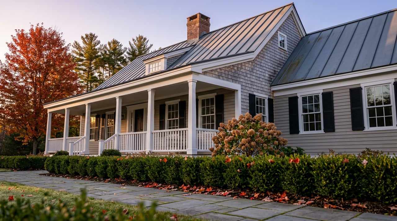
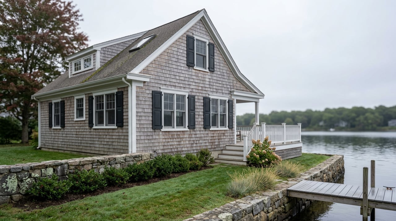
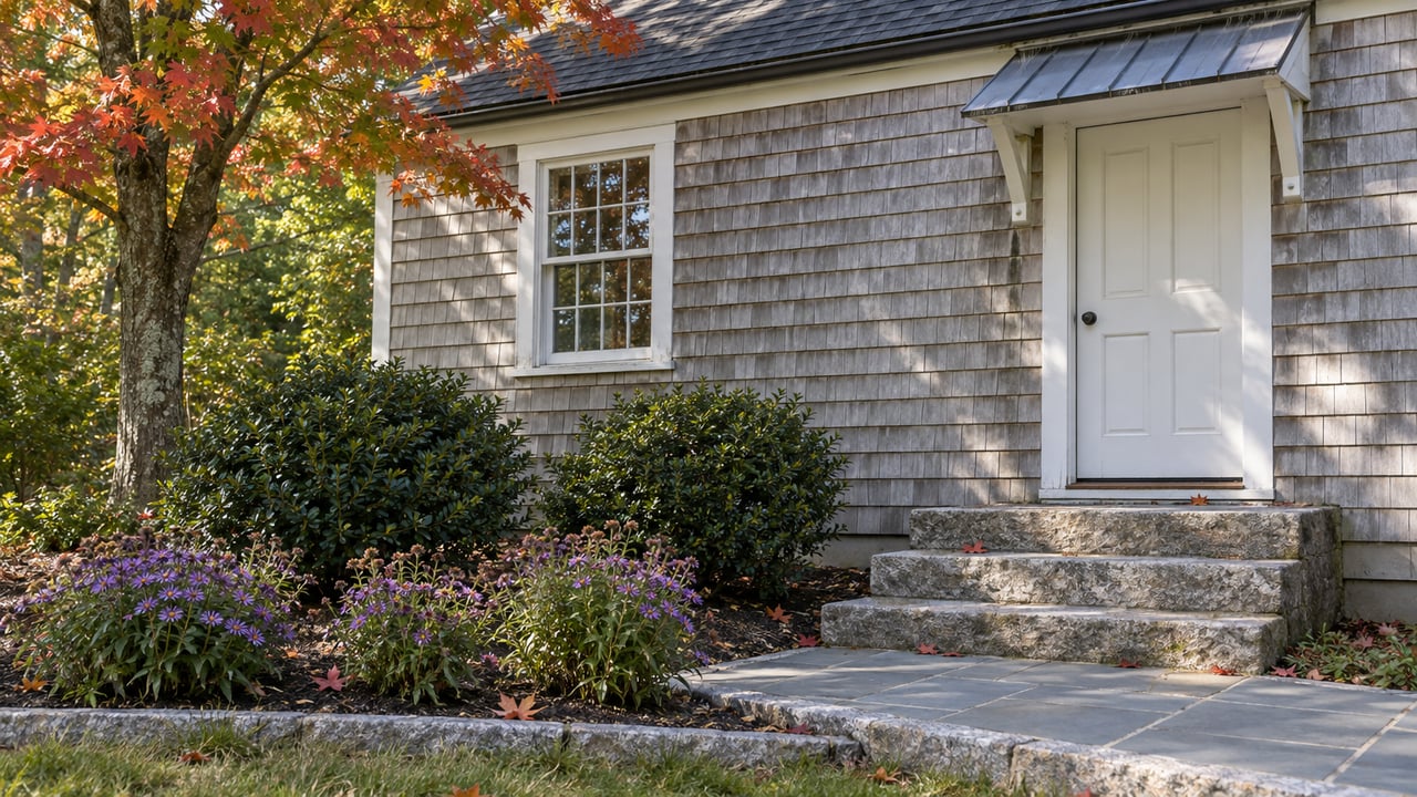
The bridge detour is the one that affects your route today, but it isn't the only thing that's moved. The Wakefield Lions Club recently built a new garden bed at the base of the trailhead kiosk on the Wakefield end, the kind of small addition that changes what the first few hundred feet of the trail look like without changing the mileage. Farther down, at the halfway point between Wolfeboro and Wakefield, a former fishing shack is being converted into storage for maintenance equipment, a project the Cotton Valley Trail Committee has been documenting on its own site alongside coverage from the Conway Daily Sun. None of these are the kind of changes that show up on a trail map. They show up if you were on the trail last October and you're on it again this October.
Why the Trail Has Two Owners
The reason the trail keeps changing in small, uncoordinated ways is that no single agency runs it. Two organizations split the job. The Cotton Valley Trail Committee, a 501(c)(3) nonprofit, maintains the walking and biking surface and serves as the liaison to the New Hampshire Bureau of Trails. The Cotton Valley Rail Trail Club maintains the railroad tracks themselves and runs members' restored motor cars over the line. Both groups trace back to the early 1990s, when a Wolfeboro pathways effort called the Trails, Rails, Action Committee took shape alongside a group of railroad hobbyists who'd gotten state permission to run motor cars on the old corridor. The two efforts grew up side by side rather than merging, which is why the trail today still has a dual identity: a recreation path built around a working, if slow and occasional, rail line.
The current 12-mile route didn't arrive all at once. The New Hampshire Bureau of Trails took over management in 2013, which sped up construction. The stretch from Turntable Park in Wakefield to Clark Road in Brookfield went in during 2013 and 2014. A two-mile section east of Cotton Valley Road followed in 2016. The final 1.7 miles, closing the gap into East Wolfeboro, was finished in October 2017, and the three towns marked the occasion with a Golden Spike Ceremony at Cotton Valley Station on September 30, 2017. The trail is not quite a decade old as a continuous route. That's recent enough that the volunteers who built it are largely the same people still patching it.
The Rails Are Still There, and That's the Point
Most rail trails remove the actual rails and lay a path over the old bed. This one didn't. The Cotton Valley Rail Trail is one of only three trails under New Hampshire's Division of Natural and Cultural Resources where the rails remain in place, used recreationally by the rail car club that helped preserve them. That decision is why the walking and biking surface alternates between running inside the rails and running alongside them, and why every crossing has a sign telling cyclists to dismount rather than ride through.
This matters more in one section than anywhere else. From Cotton Valley Road east into Wakefield, the surface switches back and forth between inside and outside the rails more often than it does closer to Wolfeboro, and it's this specific stretch that shows up again and again in rider reviews, on TrailLink and elsewhere, as the place where people misjudge the transition and go down. It's a different kind of problem than the temporary Route 16 detour. The detour will end when the bridge is done. The rail crossings near the Wakefield end aren't going anywhere, because removing them would mean giving up the thing that makes this trail unusual in the first place.
Twelve Miles, Three Villages, Two Lakes
The trail begins in downtown Wolfeboro, close enough to Lake Winnipesaukee's Back Bay that you can see water before you've gone a hundred yards. From there it runs through Brookfield and into Wakefield, crossing two causeways that carry it directly over Lake Wentworth and Crescent Lake, which is where most people say the scenery peaks. Albee Beach sits right on the trail about two miles out from downtown Wolfeboro if you want a stopping point on that end. The trail is handicap accessible for its full length with one exception: the mile between Clark Road in Brookfield and Route 16, which is the same general stretch affected by the current bridge detour.
The Wakefield end lands at Turntable Park on High Street in Sanbornville, built around a Boston and Maine Railroad turntable that was refurbished in the 1990s specifically so trail users and park visitors could see it up close. From there, Lovell Lake Beach is about a half mile away, close enough to fold into the same outing if you're not ready to head home yet.
Where to Eat When You're Done
A dozen miles round trip, or even a few, tends to end with people looking for food. A handful of names come up again and again for anyone finishing near either end of the trail:
- C & G Pizza & Restaurant, a Sanbornville standby known locally for takeout pizza that regulars specifically seek out.
- Poor People's Pub, also in Sanbornville, with a lobster roll that shows up in more than one local review as a personal favorite.
- Wakefield Inn & Restaurant, in the Village of Wakefield Corner, one of 27 historic homes in that neighborhood listed on the National Register of Historic Places. The kitchen leans Italian, with prime rib, chicken parmesan, risottos, and veal saltimbocca as regular menu fixtures alongside a rotating weekly specials list.
- Blue Bay Seafood & Steaks, a longtime local spot for seafood and steak dinners, known around town for its Thursday night specials.
- Knotty Pine Grill & Tavern, described by regulars as the kind of place you sit in the tavern side for an early dinner rather than treat as a destination.
- Miss Wakefield Diner, out in the village of East Wakefield, worth the short drive from Turntable Park if you want a proper diner breakfast or lunch rather than a dinner stop.
None of these sit directly on the trail surface itself, but all of them are close enough to be part of how people actually use this trail, as a loop that ends with a meal rather than just a there-and-back walk.
The Trail Keeps Getting Rebuilt in Pieces
What makes the Cotton Valley Rail Trail worth checking in on isn't that it's scenic, though the causeways over Lake Wentworth and Crescent Lake are. It's that the trail is never quite finished. A garden appears at the kiosk. A fishing shack becomes a tool shed. A bridge goes out for replacement and a detour goes up for a season. None of that gets updated on the state park page, because none of it changes the trail's official length or its official endpoints. It only changes what the trail is like to actually walk this particular fall, which is the only version of the trail anyone using it right now actually experiences.
For more on what's actually changing around Wakefield between one season and the next, HomesByAnaRealtor keeps posting local updates like this one as they happen.